
Blog
How Do Homeowners Know What’s Buried Under Their Property?
Why This Question Comes Up in the First Place
Most homeowners don’t ask this out of curiosity. They ask it because something is about to happen: digging, drilling, trenching, planting, grading, or repairing. The uncertainty comes from the fact that underground utilities are invisible, undocumented in one place, and often altered long after a home was built. In a city like Billings, where properties range from decades-old neighborhoods to newer developments, that uncertainty is common.
Why “Just Knowing” Is Not Possible
Homeowners often believe there should be a way to simply know what’s underground. In reality, no single source provides a complete answer.
What makes underground utilities difficult to track is not one issue, but an accumulation of conditions that compound over time:
Utilities are installed at different points in a property’s life, often by different parties
Records typically reflect original construction, not later changes
Repairs and replacements rarely follow the exact original path
Soil movement, freezing, and settling alter depth and alignment
Some lines are abandoned but left in place
Private utilities are not required to be reported or mapped
This is why two neighboring homes can have completely different underground layouts despite looking identical above ground.
What Is Actually Buried Under Residential Properties
Homeowners often underestimate both the variety and overlap of underground systems. A single yard can contain multiple layers of utilities installed years apart.
Below is a practical breakdown based on how utilities are typically encountered in residential properties around Billings.
Core Service Lines
These are usually installed during original construction and connect the home to public infrastructure.
Water service lines
Sewer laterals
Natural gas service lines
Electrical service feeds
Secondary and Added Systems
These are frequently added after the home is built and are often undocumented.
Irrigation systems with multiple shallow lateral lines
Electrical runs to garages, sheds, or outdoor lighting
Drainage lines installed to manage runoff or flooding
Propane lines for secondary heating or appliances
Communication and Low-Voltage Lines
These tend to be shallow, rerouted frequently, and replaced over time.
Cable and internet lines
Telephone lines
Security system wiring
Many accidental utility strikes happen in this category because homeowners assume these lines are either deep or no longer active.
Why Property Records Rarely Solve the Problem
Property documents are often treated as authoritative, but they are not designed to be underground utility maps.
Records usually fail homeowners because:
They show what was planned, not what was installed
They do not reflect changes made decades later
Emergency repairs are rarely added to documentation
Utility routing details are often omitted entirely
Abandoned lines are not removed from plans
In older Billings neighborhoods, it is common for property records to be incomplete or misleading when used for excavation decisions.
What Homeowners Usually Try First (and Why It Falls Short)
Before seeking professional locating, homeowners typically rely on informal methods. These approaches feel logical but leave large gaps.
Common starting points include walking the property to look for meters or cleanouts, asking neighbors what they know, recalling past repairs, or reviewing old inspection paperwork. While these steps can provide context, they do not provide verification. They indicate where utilities might be, not where they actually are.
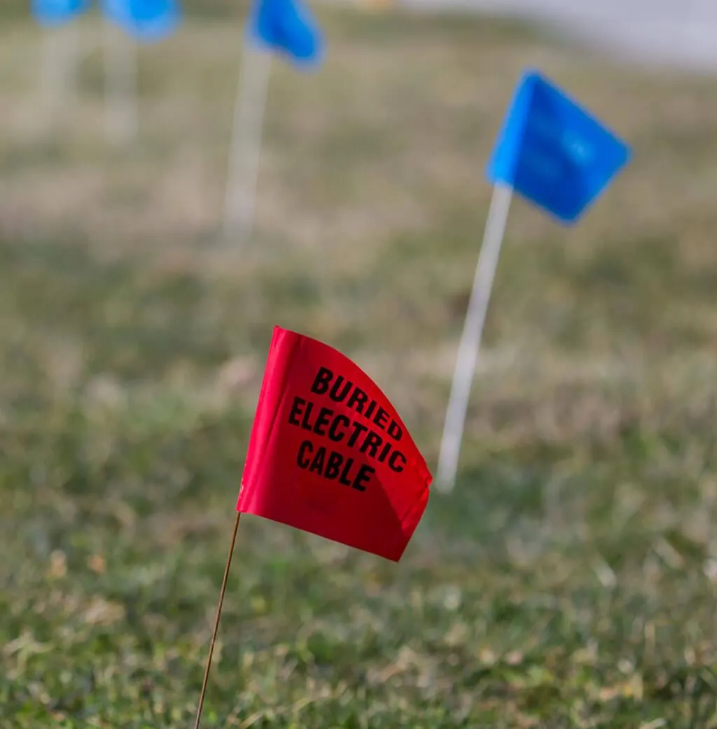
What Calling 811 Does — and Why It’s Only a Starting Point
Calling 811 is required and important, but it is not a comprehensive solution.
Here’s a clearer comparison of what homeowners should realistically expect:
This gap is the reason homeowners sometimes hit a line even when they “did everything right.”
How Underground Utilities Are Actually Identified
Accurate identification relies on detection, not assumptions or paperwork.
In practice, this means:
Establishing known utility entry points and service connections
Using electronic locating tools to trace conductive lines
Applying detection methods capable of identifying non-metallic utilities
Cross-checking findings to account for deviations or depth changes
This layered approach exists because no single method works for every type of utility.
Why Older Properties in Billings Are More Unpredictable
Older homes in Billings often sit on land that has been modified repeatedly. Utilities may have been rerouted to accommodate additions, replaced without removing old lines, or installed at depths that no longer meet modern standards.
Freeze-thaw cycles common in the region also contribute to vertical movement of utilities over time, making even once-accurate assumptions unreliable years later.
Frequently Asked Questions Homeowners Actually Have
If no one remembers installing a line, could it still be there?
Yes. Many utilities outlast the people who installed them, especially irrigation, drainage, and older communication lines.
Can utilities run diagonally or across open yard areas?
Yes. Utilities do not always follow property edges or straight paths. They often take the shortest or least obstructed route.
Are abandoned lines still dangerous?
They can be. Even disconnected lines may still contain gas, water, or electrical remnants depending on how they were decommissioned.
Is shallow digging really a risk?
Yes. Many utility strikes occur during shallow work such as fence posts, edging, or planting.
Why do utilities show up where nothing was marked?
This almost always indicates a private or undocumented line rather than an error in public marking.
Final Thoughts
Homeowners don’t fail to know what’s buried under their property because they are careless. They fail because underground utilities are layered, undocumented, and altered over time. In a city like Billings, that complexity is the norm, not the exception.
Understanding what lies beneath a property requires more than memory, records, or surface clues. That is why homeowners who want reliable answers turn to experienced utility locating professionals such as Last Call Locating Inc., especially before any digging begins.

OUR SERVICES
CONTACT INFORMATION
Phone:
Business Hours:
Mon - Fri: 9:00 AM – 5:00 PM
Sat & Sun: Closed
OUR LOCATION
© 2025 All Rights Reserved | Last Call Locating Inc. | Privacy Policy